Furuno FA-150 AIS Transponder – Complete Technical Guide for Marine Automatic Identification Systems
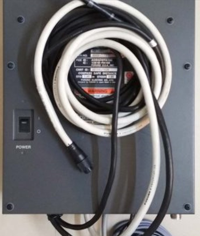
Furuno FA-150 AIS Transponder – Complete Technical Guide for Modern Ship Tracking & Navigation
Product Identification
Manufacturer: Furuno Electric Co., Ltd.
Country of Origin: Japan
Product Type: Class A AIS Transponder
Marine Application:
- Vessel Identification
- Collision Avoidance
- Ship Tracking
- Traffic Monitoring
- VTS Reporting
- Search & Rescue Operations
- GMDSS Integration
- ECDIS & Radar Integration
Product Introduction
Modern marine navigation relies heavily on accurate vessel identification and real-time traffic monitoring. The Furuno FA-150 AIS Transponder is one of the most widely installed Class A AIS systems found aboard commercial vessels worldwide.
Designed to comply with IMO and SOLAS requirements, the FA-150 automatically exchanges navigational information between ships and shore stations, significantly improving maritime safety and situational awareness.
The system continuously transmits and receives vessel information, enabling bridge officers to monitor nearby traffic and reduce the risk of collision.
Furuno FA-150 AIS System Overview


What Is the Furuno FA-150 AIS?
AIS (Automatic Identification System) is an internationally mandated vessel tracking system that automatically exchanges information between ships and shore authorities using VHF radio frequencies.
The Furuno FA-150 broadcasts:
- Vessel Name
- MMSI Number
- Position
- Course Over Ground (COG)
- Speed Over Ground (SOG)
- Heading
- Destination
- ETA
- Navigational Status
At the same time, it receives identical information from nearby vessels.
This information can be displayed on:
- ECDIS
- Radar
- Integrated Bridge Systems
- AIS Display Units
- Vessel Traffic Services (VTS)
Typical Shipboard AIS Installation


Main Features
IMO & SOLAS Compliance
Designed to meet international AIS carriage requirements.
Class A AIS Functionality
Provides full commercial vessel AIS transmission and reception capability.
Real-Time Vessel Tracking
Continuously updates surrounding vessel positions.
Radar Integration
Targets can be overlaid onto radar displays.
ECDIS Integration
AIS targets can be displayed directly on electronic charts.
GPS Position Interface
Receives accurate position data from onboard GPS systems.
Safety Messaging
Supports AIS safety-related message transmission.
Voyage Data Integration
Stores voyage information and vessel identity data.
High Reliability
Designed for continuous operation in marine environments.
AIS Navigation and Tracking Functions


Main Components
AIS Transponder Unit
The central processing unit of the AIS system.
Display Unit
Used by bridge officers for AIS operation and monitoring.
GPS Receiver
Provides vessel position information.
VHF Antenna
Transmits and receives AIS signals.
Power Supply System
Supplies operating power to the equipment.
Pilot Plug Interface
Allows pilots to access AIS data.
Communication Interfaces
Supports NMEA connections with:
- GPS
- Gyro Compass
- Radar
- ECDIS
- VDR
Applications
Collision Avoidance
Provides early identification of nearby vessels.
Traffic Monitoring
Allows bridge teams to monitor vessel movements.
Vessel Traffic Services (VTS)
Supports communication with coastal authorities.
Search & Rescue Operations
Improves identification of vessels involved in rescue missions.
Fleet Management
Provides vessel tracking data to operators.
Port Arrival Planning
Helps authorities monitor vessel movements.
Integrated Navigation Systems
Works together with radar, ECDIS, GPS, and gyrocompass systems.
AIS Integration With Bridge Systems


Common Problems & Troubleshooting
No AIS Targets Displayed
Possible Causes
- VHF antenna failure
- Antenna cable damage
- Incorrect configuration
Troubleshooting
- Check antenna connections
- Verify AIS channels
- Inspect antenna SWR
GPS Position Missing
Possible Causes
- GPS receiver fault
- NMEA communication failure
Troubleshooting
- Verify GPS operation
- Check NMEA wiring
- Inspect communication settings
MMSI Error
Possible Causes
- Incorrect MMSI programming
- Configuration corruption
Troubleshooting
- Verify vessel information
- Reconfigure system parameters
AIS Transmission Failure
Possible Causes
- VHF transmitter fault
- Antenna problem
- Power supply issue
Troubleshooting
- Measure antenna performance
- Check transmission status
- Verify power supply voltage
Interface Communication Failure
Possible Causes
- NMEA wiring fault
- Incorrect baud rate
Troubleshooting
- Verify interface settings
- Check communication ports
Maintenance Tips
Daily
- Verify AIS operational status.
- Check GPS position validity.
Weekly
- Confirm target reception.
- Review AIS alarms.
Monthly
- Inspect antenna condition.
- Verify cable integrity.
Quarterly
- Check pilot plug operation.
- Review system configuration.
Annually
- Complete AIS performance test.
- Verify antenna VSWR.
- Conduct regulatory inspection.
Common AIS Alarms
The Furuno FA-150 may generate alarms such as:
- GPS Position Lost
- VHF Antenna VSWR High
- Tx Malfunction
- Rx Malfunction
- External EPFS Lost
- Heading Sensor Failure
- No Position Update
- Internal Communication Error
Bridge personnel should investigate alarms immediately to ensure compliance and navigational safety.
Why Ships Still Use the Furuno FA-150
The FA-150 remains popular because of:
- Proven Furuno reliability
- Global service support
- Excellent integration capability
- Long operational lifespan
- IMO compliance
- Stable performance in harsh environments
- Compatibility with older bridge systems
Many vessels continue operating FA-150 units even after years of service due to their reliability and ease of maintenance.
Frequently Asked Questions (FAQ)
What is the Furuno FA-150?
It is a Class A AIS transponder used for vessel identification and tracking.
Is the FA-150 IMO approved?
Yes. It was designed to comply with international AIS requirements.
Can it connect to ECDIS?
Yes. It supports ECDIS integration through NMEA interfaces.
Does it require GPS input?
Yes. AIS requires position information from GPS or other approved positioning systems.
Can it connect to a gyrocompass?
Yes. Heading information is commonly supplied by a gyrocompass.
Is it suitable for SOLAS vessels?
Yes. The FA-150 was developed specifically for commercial SOLAS vessels.
Short Product Description
The Furuno FA-150 AIS Transponder is a professional Class A Automatic Identification System designed for vessel tracking, collision avoidance, traffic monitoring, and regulatory compliance. It provides reliable AIS communication, seamless integration with radar and ECDIS systems, and continuous operation for commercial marine navigation.
SM MARINE SERVICE™
Marine Automation & Navigation Equipment Supplier
Available Condition:
• New Equipment
• Used Equipment
• Refurbished Equipment
• Reconditioned Equipment
Stock Location:
• Bangladesh
• China
Services:
• Worldwide Shipping
• Technical Support
• Spare Parts Supply
• Marine Equipment Sourcing
Contact Information
SM MARINE SERVICE™
Samir Market, DT Road, Pahartali, beside CDA Market, Chattogram, Bangladesh
Mobile / WhatsApp / Viber: +88 01818 929292
Email: info@smmarineservice.com
Website: www.smmarineservice.com