WhatsApp : +88 01818929292 / +8801730296909
info@smmarineservice.com sohelbhuiyan1213@gmail.com arafatbhuiyan3657@gmail.com
WhatsApp : +88 01818929292 / +8801730296909
info@smmarineservice.com sohelbhuiyan1213@gmail.com arafatbhuiyan3657@gmail.com
Product Image
Product Image

JRC JLR-7600 GPS Navigator – Complete Technical Guide

Item Code:

JRC GPS JLR – 7600

Brand:

JRC

Condition:

Refurbished


JRC JLR-7600 GPS Navigator

Complete Marine Technical Guide for Precision Vessel Positioning

Product Identification

Item Details
Manufacturer Japan Radio Co., Ltd. (JRC)
Country of Origin Japan
Product Type GPS Navigator
Model JLR-7600
Satellite System GPS (Global Positioning System)
Marine Application Vessel Positioning & Navigation
Installation Bridge Console & GPS Antenna
Interface NMEA 0183 / IEC Navigation Interface
Compliance IMO Performance Standards

The JRC JLR-7600 GPS Navigator is a professional marine positioning system designed to provide highly accurate vessel position, course, speed, waypoint navigation, and route monitoring information. It is widely installed aboard commercial vessels, offshore vessels, fishing vessels, and workboats where reliable satellite navigation is essential for safe operations.


Product Introduction

Accurate position information is the foundation of modern marine navigation. The JRC JLR-7600 utilizes Global Positioning System (GPS) satellite signals to determine vessel position in real time and distribute navigation data throughout the ship.

The system shown in the image consists of:

  • JLR-7600 Display Unit
  • GPS Antenna
  • Connection Cables
  • Navigation Interface System

The navigator continuously provides:

  • Latitude & Longitude
  • Course Over Ground (COG)
  • Speed Over Ground (SOG)
  • Waypoint Information
  • Distance to Destination
  • Bearing Information
  • Route Monitoring Data

Main Product Image

https://images.openai.com/static-rsc-4/GZn0FaaoxZKDC8OZ7GO-uv1Q9vGt8-pL_8S1xZ04yC0puXSepQKAaatBDYIISmvu4q47PuN3yFVM6j1OYoRBbq_ROeBr76yJLpQfVsGsYnaQt7PFit-nw0PXp1ZNzbk1DpNwet6wb_2zayEIHGExgRhZB2gyJNceFTaE9WIeHwtIjOP-VPbQ9uLQ08hqZkLh?purpose=fullsize
https://images.openai.com/static-rsc-4/QhdgoBLO2QruGC-gYjIFlE4fz-TaGr1QIQtkPKagxVq4zP7By1p0JXSKQd7h4hmn2gXjlKb0HDNHenBFSdsz4wycDEbRMXWlChqlP9C7bp6RWFMVOLpDGBAwQ1t7n8VKOvZy6Nkv2LMJNjQYmtjgSfePHlLFd0WVuIB2R1bXjGPq8fop4KBYUAeByOgDNXvE?purpose=fullsize

The compact display unit provides navigators with essential positioning and route information while interfacing with other bridge navigation equipment.


What Is the JRC JLR-7600 GPS Navigator?

The JLR-7600 is a satellite-based navigation receiver designed to determine a vessel's precise geographical position using signals received from GPS satellites.

The system calculates:

  • Vessel Position
  • Speed Over Ground (SOG)
  • Course Over Ground (COG)
  • Bearing to Waypoint
  • Cross Track Error (XTE)
  • Distance to Destination
  • Estimated Time of Arrival (ETA)

The navigation information can then be shared with:

  • ECDIS
  • AIS
  • Radar
  • Autopilot
  • Voyage Data Recorder (VDR)
  • Integrated Bridge Systems

GPS Navigation Principle

https://images.openai.com/static-rsc-4/BnYX9QU-NaqV1qfSULrvEnLYtA_sHWUYm2ptf-12i3CcdSvANy009xIT6-MzsjCWVQyEXRkhwpHJQt7ZkBj0YUv_-OBUPUpy3aMRQqD4ctUg4g9J1zUCJ2KByT0_Tigl6CyeI3sVgaKU-3nsnvmIj_ajaggDjF8avAI-y68NrBrvfpA2LknHs2oKU3ljYbxQ?purpose=fullsize
https://images.openai.com/static-rsc-4/W_o3o5PnLuccNDXJw6MCVgKkuQTD9i0ltOuYKBhdCzmNk1l9CI5uY4jnv1K-mDVTNJATlTKWVAeYazMu9lnQQm-OT8YXY8-2VnCF2-HgRwqC77KFYuKNnEiyzUnk4G81ekbZCMfB6nWLFt54LGY3253QliuP7zBNaHg_FqvoENxQKZ7-ZPwFJW4_BS6v5iUm?purpose=fullsize
https://images.openai.com/static-rsc-4/mlHECdmIuWBrBX_4vTTTBqHxYLKCd4AjOqYBWKkyxTR3UalXqTO-xRX6mcJ8gyMGDx_yA0ZvUMq4GpxzXcDQmHW0rdvFJZ1ZUjzTP9qNHRuIeaiJzspLIvjOhPhC8LT8WmM-vUVEf5EXx_ss0SYTwgem2GrzG4Yq9kjFnJTMfOQo5e1spZzZ0KkT47FlEA4Y?purpose=fullsize

Main Features

High Accuracy GPS Positioning

Provides continuous vessel position updates.

Route Navigation

Supports waypoint and route guidance functions.

Course Over Ground (COG)

Displays actual vessel movement direction.

Speed Over Ground (SOG)

Displays vessel speed based on GPS calculations.

Waypoint Management

Stores and manages navigation waypoints.

Navigation Alarms

Provides alarms for:

  • Arrival Alerts
  • Cross Track Error
  • GPS Signal Loss
  • Navigation Warnings

NMEA Output

Interfaces with:

  • ECDIS
  • AIS
  • Radar
  • Autopilot
  • VDR

Compact Design

Suitable for installation on modern navigation bridges.


GPS Display Functions

https://images.openai.com/static-rsc-4/1JN9IGHwLhWNeCAxgmFEobjw3q0xy5RBBsPqTt8dtAbG-yEjo27A5xbsoYUWgN4ZnuNI6RAT3eLL15HiQU_nqfDXCFdcksmgksb2rTJGolSaoVgPN_UiKVB97YHKsaac0IroG3IJ5SjRkn0OoMNS4mPKBMQO8kzSe5xNVWRxqUqEKk5dFQPdsxkuwavGwjZB?purpose=fullsize
https://images.openai.com/static-rsc-4/KZryLxqJdRfUBVEtta2KMh2U43ER6Zq85_gU7nJrqqThjcNsLOIoDXl9Re3kubIzFxTGpfXzJO0Ph8Kpljv7ZqX4c4ZPkNCV5j8itjq1ltyZi9Y7h0U9Zmr6rDQAN8KEb2p93-5GLWkPgjQb7bWNBo19OqeJ_ze5dwLh_vspc-Pe7Y-1BgPI3DUOQEBTSI05?purpose=fullsize
https://images.openai.com/static-rsc-4/jZV8CUPaMu0AW-SMdziTsAcoc6OrKFM88r0c_kUkHynXrSqMrK2rXcGZPwyqPn2uqZifIPdbRilSRiqeE_Fn_AUEDUv9ZMDMniwOs15JbKt-2ctvJqRShUGb3ku4SR0TgHByB8C6_8Y5jHiVLvA750LKOZXk2IykXvhJfLV_bWBdagUHxoM1KSY2ckDJvoa-?purpose=fullsize

Main Components

1. Display Unit

Installed on the bridge.

Functions

  • Position Display
  • Route Monitoring
  • Alarm Management
  • Waypoint Navigation

2. GPS Antenna

Mounted externally with clear sky visibility.

Functions

  • Satellite Signal Reception
  • Position Calculation Support

3. Processor Module

Processes satellite data and generates navigation information.

Functions

  • Position Calculation
  • Speed Calculation
  • Navigation Processing

4. Communication Interfaces

Provides navigation data to other bridge systems.

Supports

  • ECDIS
  • AIS
  • Radar
  • VDR
  • Autopilot

5. Power Supply Circuit

Provides regulated system operation.


Typical System Configuration

https://images.openai.com/static-rsc-4/-pCSpPrIK_GQx1Cr-v7jljfZ6v4zYutAC1zJrb4BD11WWn7dttGzde1-hnzalCtCOaO29cMl9CNNq8ijd65gzcvuaROX2oCbdMnPbAtelaQiwU-Z1nyNarOwmnEinunHmB5I9t79yK2RRd3p8JplXSk4E1VTxaSpNeCbuprZCL-ppvWsSIZ7EwXTx9X6RBGQ?purpose=fullsize
https://images.openai.com/static-rsc-4/PiraUgj3m8QlR53fPsXTPsQKxpAfbp3DLGz5WEkFANW_3CigzcUVI9pDXCOWJWz3IYSpLW_ChpD-ldzbVuYXTCQ-Y9ozaDrHgJZmmZuuOBMagvXhlZ9O_GOzWZ29GmwjwoQlZmgtf3AW3xaXmyo4YpP3GtSGYy4uV5_ZUYAFnsH8jAflXByhzVwqE-tB8GTv?purpose=fullsize
https://images.openai.com/static-rsc-4/cDwHkAx_ToQo9NXbSS9y28ClVR0OlC9j8qEYa0CSXNjA0b9a24GNJAz9hnpeoXdXVuP_Vlu5JAvmERA0k9bcMvVMYZzhTGNparlZQ99azvHaDYoxvU1ba29qkJ8UeTkV3KlPo3a8Rxp9LYExzq5E1WWwIB8D4zW7MZOPEIKaP5YV7D5HqABlo1WbHb3BMuBw?purpose=fullsize
5

Marine Applications

The JLR-7600 is commonly used for:

Ocean Navigation

Provides continuous vessel positioning.

Coastal Navigation

Supports route monitoring in restricted waters.

Fishing Vessel Operations

Assists with fishing ground positioning.

Offshore Operations

Provides navigation support for offshore activities.

Route Planning

Supports waypoint-based navigation.

ECDIS Integration

Supplies position information to electronic chart systems.

Autopilot Operation

Provides navigation inputs for automatic steering.


Common Problems & Troubleshooting

1. No GPS Position Available

Possible Causes

  • Antenna fault
  • Antenna cable damage
  • Satellite reception obstruction

Corrective Actions

  • Verify antenna condition
  • Inspect antenna cable
  • Ensure clear sky visibility

2. Weak GPS Signal

Possible Causes

  • Damaged antenna
  • Water ingress
  • Poor antenna location

Solution

  • Inspect antenna installation
  • Check cable integrity
  • Relocate antenna if necessary

3. Incorrect Position Display

Causes

  • Configuration issue
  • GPS receiver fault
  • Data corruption

Solution

  • Verify settings
  • Restart system
  • Check diagnostics

4. No Data Output to ECDIS

Causes

  • Communication failure
  • Incorrect NMEA settings

Solution

  • Verify NMEA output configuration
  • Inspect interface cables

5. Route Navigation Errors

Causes

  • Incorrect waypoint data
  • Navigation configuration issue

Solution

  • Verify waypoint entries
  • Review route settings

Maintenance Tips

Proper maintenance ensures long-term reliability.

Daily Checks

  • Verify GPS position
  • Check satellite reception
  • Review alarm status

Weekly Checks

  • Inspect antenna condition
  • Verify communication outputs

Monthly Checks

  • Test navigation interfaces
  • Verify waypoint database
  • Review event logs

Annual Maintenance

Recommended:

  • Antenna inspection
  • Cable integrity testing
  • Navigation performance verification
  • Interface testing

Weather Protection

Ensure antenna housing remains free from physical damage and contamination.


Why Ships Still Use Dedicated GPS Navigators

Although ECDIS and integrated bridge systems include navigation functions, dedicated GPS navigators remain important because:

Independent Position Source

Provides redundancy for navigation systems.

Reliable Operation

Dedicated navigation hardware offers stable performance.

IMO Compliance

Supports mandatory navigation requirements.

Easy Monitoring

Provides direct access to vessel position information.

Sensor Distribution

Supplies navigation data to multiple onboard systems.

Backup Navigation Capability

Remains operational even if other systems fail.


Frequently Asked Questions (FAQ)

What does the JLR-7600 provide?

It provides vessel position, speed, course, waypoint navigation, and route information.

Does it work with ECDIS?

Yes. The JLR-7600 can provide GPS position data to ECDIS systems.

Can it interface with AIS?

Yes. AIS systems commonly use GPS information supplied by the navigator.

What happens if GPS signals are lost?

Position information becomes unavailable until satellite reception is restored.

Is the JLR-7600 suitable for SOLAS vessels?

Yes. It is designed for professional marine navigation applications.


Short Product Description

The JRC JLR-7600 GPS Navigator is a professional marine satellite navigation system designed to provide highly accurate vessel positioning, speed, course, and route monitoring information. Featuring GPS technology, waypoint navigation, NMEA interfaces, and integration with ECDIS, AIS, Radar, and Autopilot systems, it remains a trusted navigation solution for commercial vessels worldwide.

SM MARINE SERVICE™

Marine Automation & Navigation Equipment Supplier

Available Condition:

• New Equipment • Used Equipment • Refurbished Equipment • Reconditioned Equipment

Stock Location:

• Bangladesh • China

Services:

• Worldwide Shipping • Technical Support • Spare Parts Supply • Marine Equipment Sourcing

Contact Information

SM MARINE SERVICE™
Samir Market, DT Road, Pahartali, beside CDA Market, Chattogram, Bangladesh

Mobile / WhatsApp / Viber: +88 01818 929292

Email: info@smmarineservice.com

Website: www.smmarineservice.com


BDT:

0

-
+

Related products

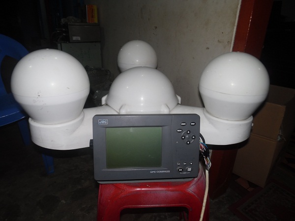
JRC-SATELLITE GPS' COMPASS -JLR-21

BDT 0

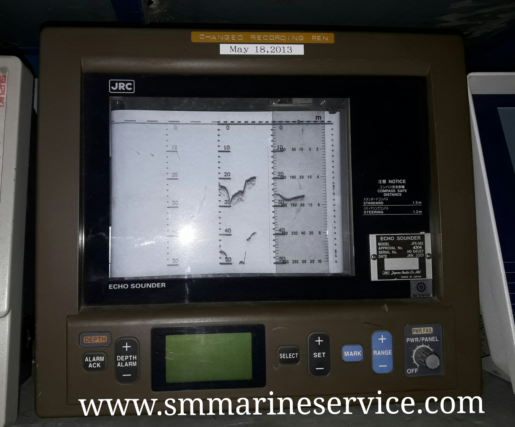
JRC ECHO SOUNDER MODEL: JFE 582

BDT 0

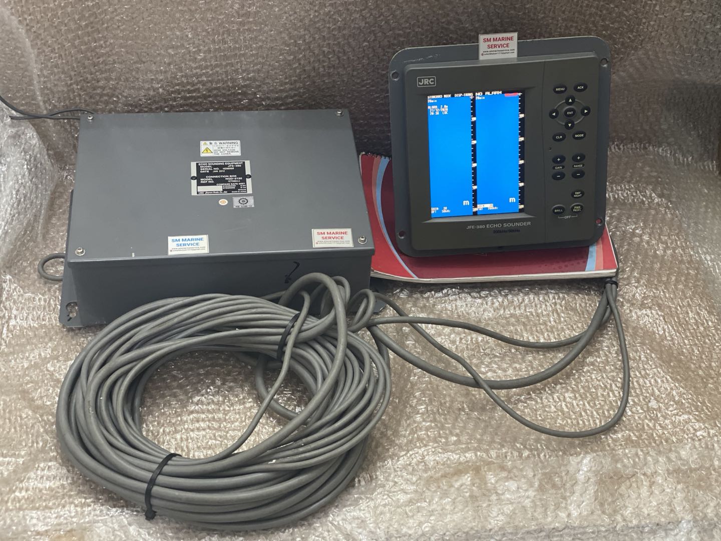
JRC ECHOSOUNDER JFE-380

BDT 0

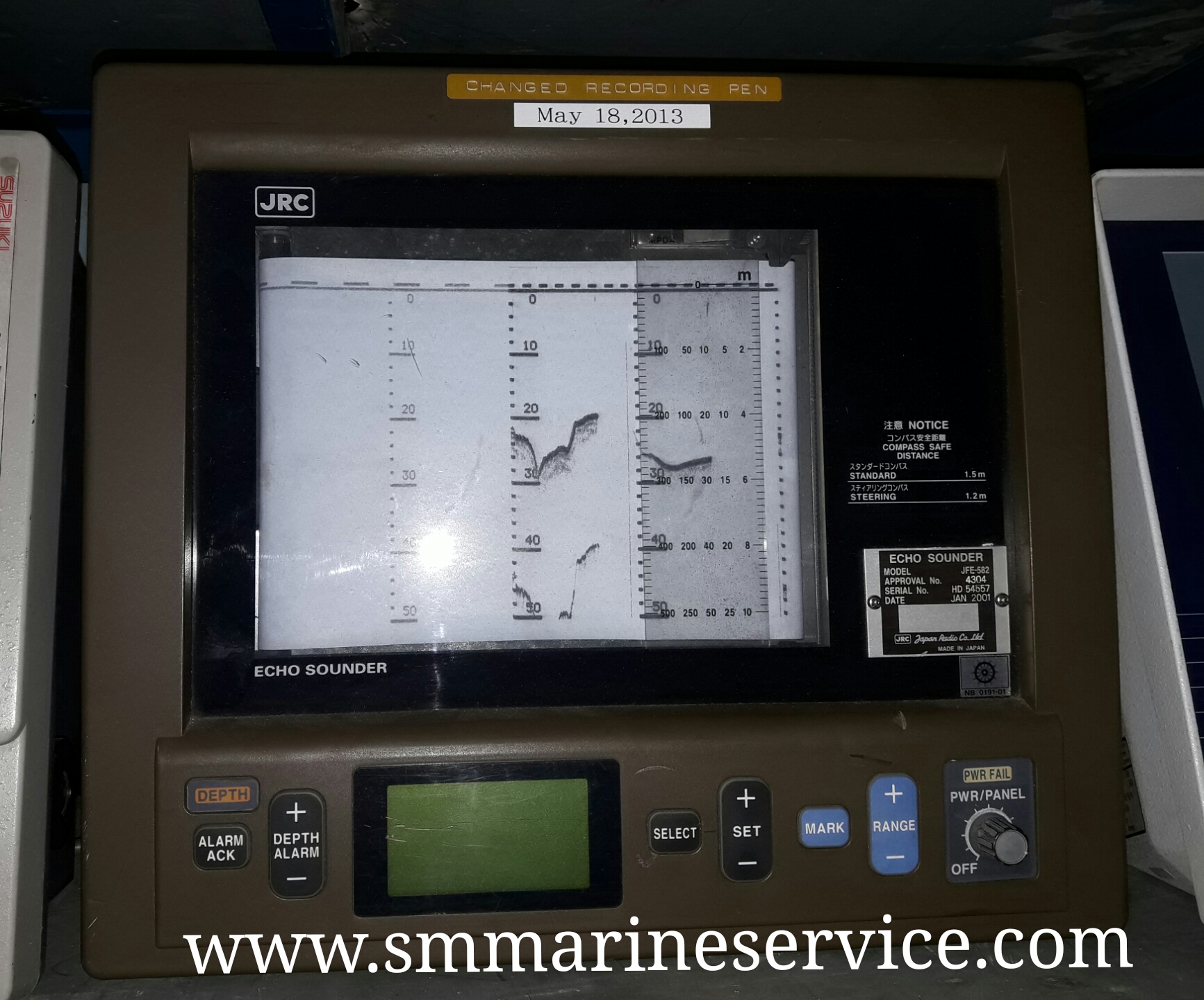
JRC ECHO SOUNDER JFE 582

BDT 0

SM Marine Service

SM Marine Service

Marine Equipment Supplier

Welcome to SM Marine Service! How can we help you today? 10:17 PM
Need Help? Chat with us