WhatsApp : +88 01818929292 / +8801730296909
info@smmarineservice.com sohelbhuiyan1213@gmail.com arafatbhuiyan3657@gmail.com
WhatsApp : +88 01818929292 / +8801730296909
info@smmarineservice.com sohelbhuiyan1213@gmail.com arafatbhuiyan3657@gmail.com
Product Image
Product Image

HIGHLANDER HLD-ECDIS 600 – IMO-Compliant Electronic Chart Display and Information System (ECDIS) for Commercial Vessels

Item Code:

HIGHLANDER ECDIS

Brand:

HIGHLANDER

Condition:

Refurbished


HIGHLANDER HLD-ECDIS 600

Complete Marine Technical Guide for Professional Electronic Navigation

Product Identification

Item Details
Manufacturer Highlander Marine Systems
Model HLD-ECDIS 600
Product Type Electronic Chart Display and Information System (ECDIS)
Country of Origin China
Application Electronic Navigation & Voyage Planning
Compliance IMO / SOLAS ECDIS Requirements
Installation Navigation Bridge
Interface GPS, AIS, Radar, Gyro Compass, Speed Log, Autopilot, VDR

The HIGHLANDER HLD-ECDIS 600 is a professional marine Electronic Chart Display and Information System (ECDIS) designed to provide safe, efficient, and regulation-compliant navigation for commercial vessels. The system integrates electronic navigation charts, route planning tools, real-time vessel positioning, AIS targets, radar overlays, and navigational alarms into a single navigation platform.


Product Introduction

As modern vessels transition from traditional paper charts to digital navigation systems, ECDIS has become one of the most critical bridge navigation tools.

The HLD-ECDIS 600 enables navigators to:

  • Display official ENC charts
  • Monitor vessel position in real time
  • Plan and optimize routes
  • Manage voyage plans
  • Track AIS targets
  • Interface with radar systems
  • Improve navigational safety

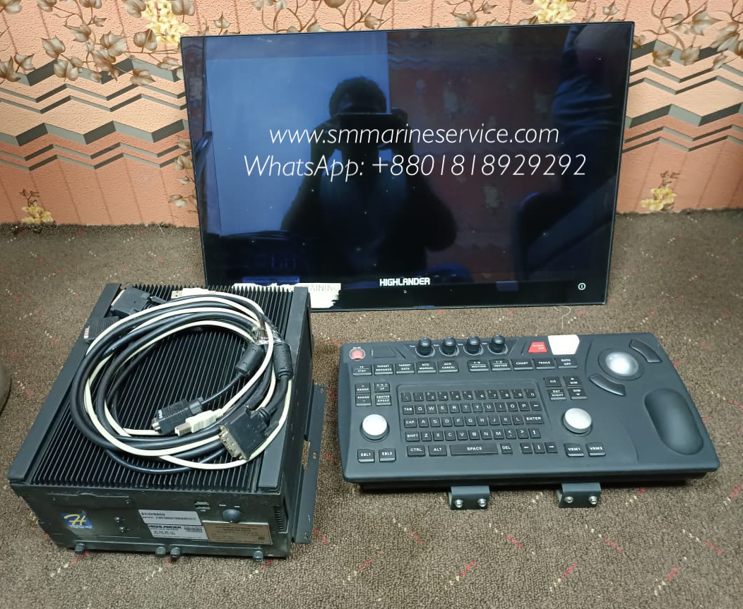
The system shown in the image includes:

  • Industrial ECDIS Processor Unit
  • Marine Keyboard & Trackball Controller
  • High-Resolution Marine Display
  • Interface Communication Cables

Main Product Image

https://images.openai.com/static-rsc-4/h39FUn_9o109e8fYhF6qOznLtrTevxfmIgz3EjCNyJpJdAVb6XOsQeaFU29laj3Ye_6hABaPlZArO7smWAKAh6rvNGHrETfQb12QBeFwTYvPl1twVnZRUhAVSbiAXhymGsiF1f2vk0MRYf9PLAPVnbomSIqnAi1qtIXn8pxiuZJ-qnn1N1rRO1YY0fBmle8K?purpose=fullsize
https://images.openai.com/static-rsc-4/PqQvx8npiRrYHDer-pwrPwLTdt82qODYytizSkOkkUvIwKEbsDco8-HE-8OzZgjzrkUSONb3-bqomM1JWcQ7eVIxfJvITzVZY8BF1FZzUAj6EPsYLcgrNa1lqcmsso95pwfUoOh4V0YJJkMjXifllxSX66OnKhrKQRi5b-DTqfOohoQ8A2LX8uwPwbQui2dL?purpose=fullsize
https://images.openai.com/static-rsc-4/kN1xsSHTgD3Fpj8JlHS02RT6TkKph51yByyqNZsnfS9C0fj2UIURKvUcXZI7TunzXsbtuMUGH-3MJfl31XvnPqxDrvHfV1Nze5cmqqL19FZFV5c6dQcM52okdY7rkqWlO0jU1xceOEmnfNyCetHO5fDHXNvysTOAR_aPng6GHLnsCf13-wPykbbZLdtfvWjw?purpose=fullsize
4

The complete package typically consists of the ECDIS processing computer, display monitor, marine keyboard/trackball control panel, and interface modules for integration with navigation sensors.


What Is This Equipment?

ECDIS (Electronic Chart Display and Information System) is an IMO-approved navigation system that can legally replace traditional paper nautical charts when operated with approved electronic navigational charts (ENCs).

The HLD-ECDIS 600 continuously receives information from:

  • GPS / GNSS Receiver
  • Gyro Compass
  • Doppler Speed Log
  • AIS System
  • Radar System
  • Autopilot
  • Voyage Data Recorder (VDR)

The system combines these inputs with electronic charts to provide navigators with a complete situational awareness picture.


Typical ECDIS Installation

https://images.openai.com/static-rsc-4/t59JHDwI446eJIZ4OmzcrkY-GjXXKGPiHEc_f5hhekyiIULw9BQj86pBTJKY71Eaz9oZ0v0xyaU4m6G64mdVB6HnHCsJtCHc3RfonLAdCthxS5QFR_iBjVRuScF0wdbfntUiTy4j8kHnJ1w8B3zU4bZdc_b6uV3hZ9-ohS3GJuQADjkook4h6I0H9FnPqRdg?purpose=fullsize
https://images.openai.com/static-rsc-4/2Sofq3p6aMmgOT8w0rawXB_lji8LQAo-S_Q2-HSlgVojXbzoxJad_Vo68CV_2hVJyxysezTF9NWP0viC0ipvdSsDmzeKxB5UuC7z0okKKZVHwlcxPwMQJxFBlF2d_qUw9JU7J0QOFfx6ATDM36eLb3veaLBnrEqJ2CoG0wZOQRpGZgMUSW2S4GI8IoNtmOof?purpose=fullsize
https://images.openai.com/static-rsc-4/vWmHtOKrzi3IPmfL5cJLujkOQjXfX_yAMePhgjFAyOTH_bWAg756CQxS9kKF7We4XnUZCIOcJ1tI0kOPMRZAyb5vpUX3IaHHOHSoqJwVAW4OjirXnkB5PSshFV3fwYZWpUdJoo-W0phkKbwulXL7izOGtzTbnJBNe1qQkSr5azgoPvMCNGuYKdd3QgA0sB6Y?purpose=fullsize
6

Main Features

Electronic Navigation Charts (ENC)

Supports official electronic navigational charts compliant with international hydrographic standards.

Real-Time Vessel Positioning

Displays vessel location continuously using GPS/GNSS inputs.

Route Planning

Allows navigators to create detailed voyage plans with:

  • Waypoints
  • Course Lines
  • Safety Parameters
  • Turning Points

Route Monitoring

Monitors vessel progress and generates alarms if the vessel deviates from the planned route.

AIS Integration

Displays nearby vessels and navigational information.

Radar Overlay

Combines radar information with chart displays for improved situational awareness.

Safety Alarms

Provides alarms for:

  • Cross Track Error (XTE)
  • Shallow Water
  • Safety Contour Violation
  • Route Deviation
  • AIS Collision Risk
  • Chart Data Warnings

Multi-Sensor Integration

Interfaces with:

  • GPS
  • DGPS
  • AIS
  • Radar
  • Gyro Compass
  • Speed Log
  • Echo Sounder
  • Autopilot

Display & Control System

https://images.openai.com/static-rsc-4/kN1xsSHTgD3Fpj8JlHS02RT6TkKph51yByyqNZsnfS9C0fj2UIURKvUcXZI7TunzXsbtuMUGH-3MJfl31XvnPqxDrvHfV1Nze5cmqqL19FZFV5c6dQcM52okdY7rkqWlO0jU1xceOEmnfNyCetHO5fDHXNvysTOAR_aPng6GHLnsCf13-wPykbbZLdtfvWjw?purpose=fullsize
https://images.openai.com/static-rsc-4/buFGCmCS8mDVfj3Qx3bQ0nKPGo5odOHOzJlzUTJrUHKyflIdH459EKsR-krcwprZK1s46pxTUQ1yLsd-xQHaU3FuhQVIlMDKi0PRK3HSTJtUdg2nPkFQ36pKPM1Xopvf69YXqZjS5NPm35Nd4bBEiZ9LHEvkgcN0smPXY-h_9n9mJbiG0GJBvUaIhuOeWd0x?purpose=fullsize
https://images.openai.com/static-rsc-4/_dr8RFe7uJNUioGfPGMq_5zxGlYEyHZpP3KM6T6jJfvA3ImkajSujYyn83MfZCNc48mTQn8d2Kv7HExncesLJN0d269UOUbu6ZhBxoI8o5z22USF1hwXf1-Xkg2hLgz15eaDjB4yQufYR8SmzrvUA1xbziXYrN5wIwa4CV2wq7aPA5_h-FjeNxFlXRlQp4b8?purpose=fullsize
4

Main Components

1. ECDIS Processing Unit

The industrial computer responsible for chart rendering, route calculations, alarm generation, and sensor integration.

Functions

  • Data Processing
  • Chart Management
  • Voyage Planning
  • Sensor Integration

2. Marine Display Monitor

Provides high-resolution chart visualization.

Functions

  • Chart Display
  • Route Monitoring
  • Alarm Presentation
  • Navigation Information

3. Marine Keyboard & Trackball Controller

Dedicated navigation interface designed for marine operation.

Functions

  • Route Editing
  • Chart Control
  • Alarm Management
  • System Configuration

4. Electronic Chart Database

Stores ENC and chart updates.

Functions

  • Chart Management
  • Navigation Data Storage
  • Route Archiving

5. Communication Interfaces

Provides connectivity to shipboard navigation equipment.

Supported Equipment

  • GPS
  • AIS
  • Radar
  • VDR
  • Gyro Compass
  • Speed Log

Internal System Architecture

https://images.openai.com/static-rsc-4/3T7Pe0X9U9NAp39ksJNbYmoEGeCMBzBOvkndXKCZIZmj1G_1SqHqJk5ItF3ZWj8AgtIXIvYsSWXYo08gpDQ_0GCjSRFGHNdZiu9hatdBjOoO6pi-43ZQYqWkW4U7a9lD6v5EXYt8fSp_dcEx32gQEMtuJltcKjrUh4JKXeRm2pRZ8vNQDKyc3tYwq7_dNblB?purpose=fullsize
https://images.openai.com/static-rsc-4/Q4fw9yIAyDZM4wWX17ueexZg9UHZUVMSGmfWJtlmTRV1tLRhdgO_ZikIGyPoyBZgNTMM1OkCeMgkI4Pl3wzjCYg0NNyAlJM86KNEwMQQEADb8JLOwsXMpRj1zp-IdAQaMAIDSModj00wzC6fKHkIibQtH7k21GCpzI84FJgLRdnMGyx1VYknUGzzruRmWcCr?purpose=fullsize
https://images.openai.com/static-rsc-4/1AA7Wkb1CQ2RGOeqVKMCIX8gQe8jDV-YzC1Vr_M25i207V0VYnUeBEdWblOoRBDxm1r9DiRJucMqft8QVUi8dcCYuyBjDMi3UegH_FllbXX9__cY8GEpQOsYxOpWbH6grFHKbsL9copCtkr-oF8bR6W5S7Ac5UyjHjpJdBO8ndTLdBCGP_XPNdr75qFpmAJm?purpose=fullsize
5

Marine Applications

The HLD-ECDIS 600 is commonly installed on:

Container Vessels

Supports long-distance voyage planning and navigation.

Oil & Chemical Tankers

Provides enhanced navigation safety in restricted waters.

Bulk Carriers

Improves route management and voyage efficiency.

Offshore Support Vessels

Assists in offshore navigation operations.

Passenger Ships

Provides advanced navigational monitoring and route control.

Naval Vessels

Supports tactical navigation and route management.


Common Problems & Troubleshooting

1. GPS Position Not Available

Possible Causes

  • GPS receiver failure
  • Antenna fault
  • Communication cable issue

Corrective Actions

  • Verify GPS status
  • Check antenna connections
  • Confirm communication settings

2. AIS Targets Not Displayed

Possible Causes

  • AIS communication failure
  • Incorrect serial port configuration
  • AIS transmitter fault

Solution

  • Check AIS data input
  • Verify communication settings
  • Test AIS interface

3. Chart Not Loading

Possible Causes

  • Corrupted chart database
  • Invalid ENC license
  • Storage failure

Solution

  • Reload chart database
  • Verify chart licenses
  • Check storage media

4. Radar Overlay Failure

Possible Causes

  • Radar interface fault
  • Network configuration issue
  • Incorrect synchronization settings

Solution

  • Verify radar communication
  • Check network interfaces
  • Confirm overlay configuration

5. System Alarm Continuously Active

Possible Causes

  • Safety contour setting issue
  • Route deviation
  • Sensor data inconsistency

Solution

  • Review alarm details
  • Verify safety settings
  • Confirm sensor accuracy

Maintenance Tips

Proper maintenance is critical for reliable ECDIS operation.

Daily Checks

  • Verify GPS position
  • Check chart display
  • Review active alarms
  • Confirm AIS target display

Weekly Checks

  • Backup voyage plans
  • Verify chart database integrity
  • Check system logs

Monthly Checks

  • Verify sensor interfaces
  • Test alarm functions
  • Review system performance

ENC Chart Maintenance

  • Update charts regularly
  • Install official chart corrections
  • Verify chart licenses

Hardware Maintenance

  • Inspect connectors
  • Clean display surfaces
  • Verify cooling ventilation
  • Check keyboard and trackball operation

Why Ships Still Depend on ECDIS

ECDIS has become a mandatory navigation tool on most SOLAS-class vessels because it provides:

Enhanced Situational Awareness

Integrates multiple navigation sensors into one display.

Improved Voyage Safety

Provides automatic navigational warnings.

Regulatory Compliance

Meets international navigation requirements.

Paperless Navigation

Reduces dependence on traditional paper charts.

Efficient Route Planning

Improves voyage management and fuel efficiency.

Collision Avoidance Support

Assists navigators with AIS and radar integration.


Frequently Asked Questions (FAQ)

What is the main purpose of the HLD-ECDIS 600?

To provide electronic chart navigation, route planning, route monitoring, and sensor integration for safe vessel navigation.

Can ECDIS replace paper charts?

Yes, when installed and operated according to IMO and SOLAS requirements using approved ENC charts.

Does the HLD-ECDIS 600 support AIS integration?

Yes. AIS targets can be displayed directly on electronic charts.

Can radar be overlaid on the chart?

Yes. Radar overlay functionality is available when properly interfaced.

What sensors are required?

Typically:

  • GPS
  • Gyro Compass
  • Speed Log

Additional sensors such as AIS and Radar enhance functionality.


Short Product Description

The HIGHLANDER HLD-ECDIS 600 is a professional marine Electronic Chart Display and Information System designed for commercial vessel navigation. Featuring ENC chart support, route planning, AIS integration, radar overlay, alarm management, and multi-sensor connectivity, the system provides a comprehensive navigation solution for modern bridge operations.

SM MARINE SERVICE™

Marine Automation & Navigation Equipment Supplier

Available Condition:

• New Equipment • Used Equipment • Refurbished Equipment • Reconditioned Equipment

Stock Location:

• Bangladesh • China

Services:

• Worldwide Shipping • Technical Support • Spare Parts Supply • Marine Equipment Sourcing

Contact Information

SM MARINE SERVICE™
Samir Market, DT Road, Pahartali, beside CDA Market, Chattogram, Bangladesh

Mobile / WhatsApp / Viber: +88 01818 929292

Email: info@smmarineservice.com

Website: www.smmarineservice.com


BDT:

0

-
+

Related products

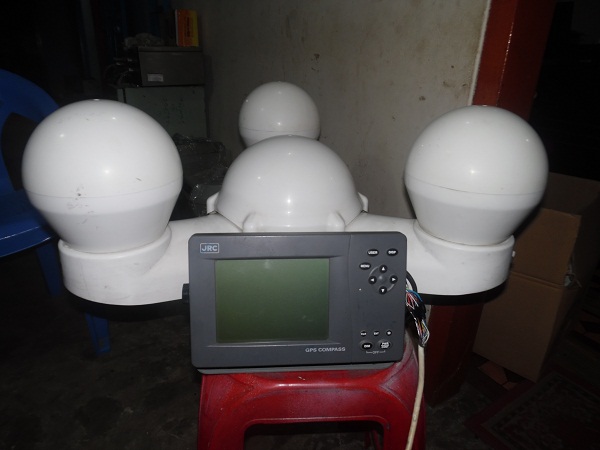
JRC-SATELLITE GPS' COMPASS -JLR-21

BDT 0

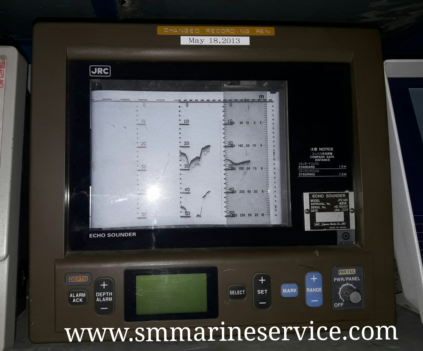
JRC ECHO SOUNDER MODEL: JFE 582

BDT 0

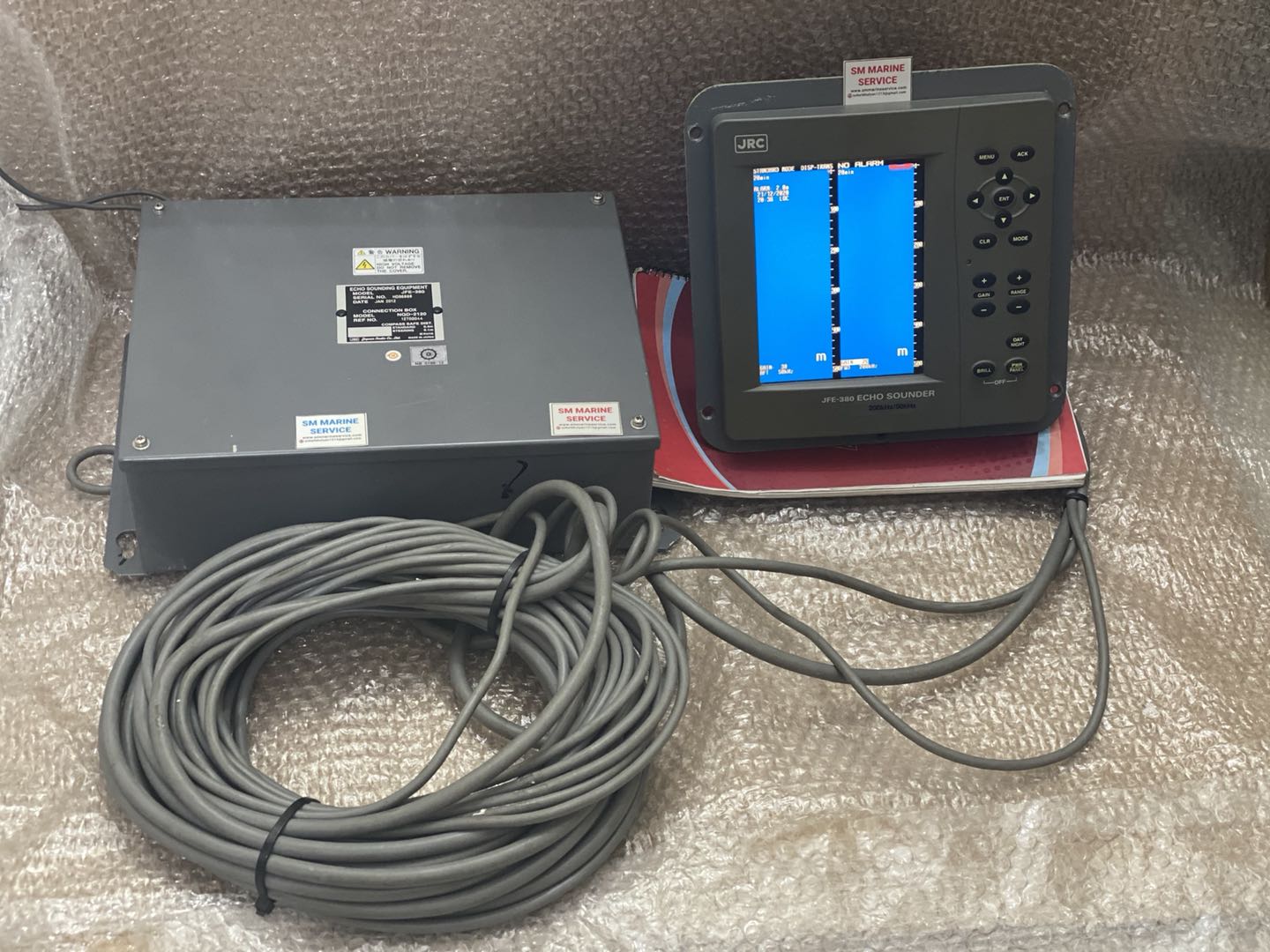
JRC ECHOSOUNDER JFE-380

BDT 0

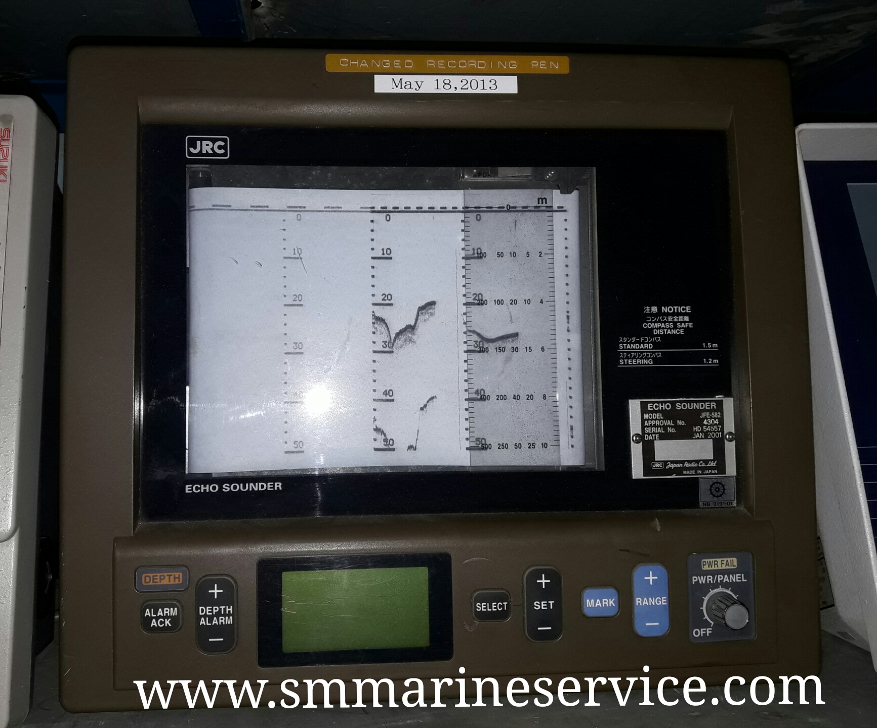
JRC ECHO SOUNDER JFE 582

BDT 0

SM Marine Service

SM Marine Service

Marine Equipment Supplier

Welcome to SM Marine Service! How can we help you today? 10:16 PM
Need Help? Chat with us